Loading satellite imagery…
Satellite imagery is temporarily unavailable
The route and story remain readable. Reconnect and refresh to restore the basemap.
风下之乡
Land Below the Wind
In 1938, writer Agnes Newton Keith joined her husband Harry, who worked in forestry, on a journey into the rivers and rainforest of southeastern British North Borneo.
From Sandakan they sailed south to Tawau, changed to dugout canoes at Kalabakan and travelled upstream. After crossing the watershed, they descended the Kuamut and Kinabatangan to the sea.
Leaving Newlands
Early June 1938
Newlands, on the hill above Sandakan, was the Keiths’ base for domestic life, writing and forestry work. The expedition had already been postponed three times—twice because rain made the rivers impassable. When Agnes finally left, she was still feverish and knew that both body and memory would be altered before she walked up the garden path again.
Today’s Agnes Keith House was built in 1946–47. Rising on the same site after the war, it carries Newlands’ domestic memory forward without pretending to be the house of 1938 preserved intact.
“When I next walked up this garden path … my mind would hold all the memories I wanted to linger over.”
New rendering from the 2016 Chinese edition
Meeting at Tawau, sailing to Sebatik
The expedition’s first stage
At Tawau they met Winki, a geologist for the oil company, then sailed for Sebatik in a bagong carrying a black-and-yellow sail. City shoes and socks went into the bottom of the boat; bare feet suited the water better.
Winki planned more oil-test holes while Harry collected tree specimens. Through a stereoscope, aerial photographs that first resembled caviar and insects suddenly became treetops, deep forest and river channels. A light tent borrowed from the Medical Department—and the first strong camp coffee—completed the shift from domestic routine to field life.
“We took off our shoes and socks, spread them on the deck, and settled comfortably into bare feet.”
New rendering from the 2016 Chinese edition
07Middle Napagun — Kuala Napagun
From Middle Napagun to its mouth
1938.06.14—06.16
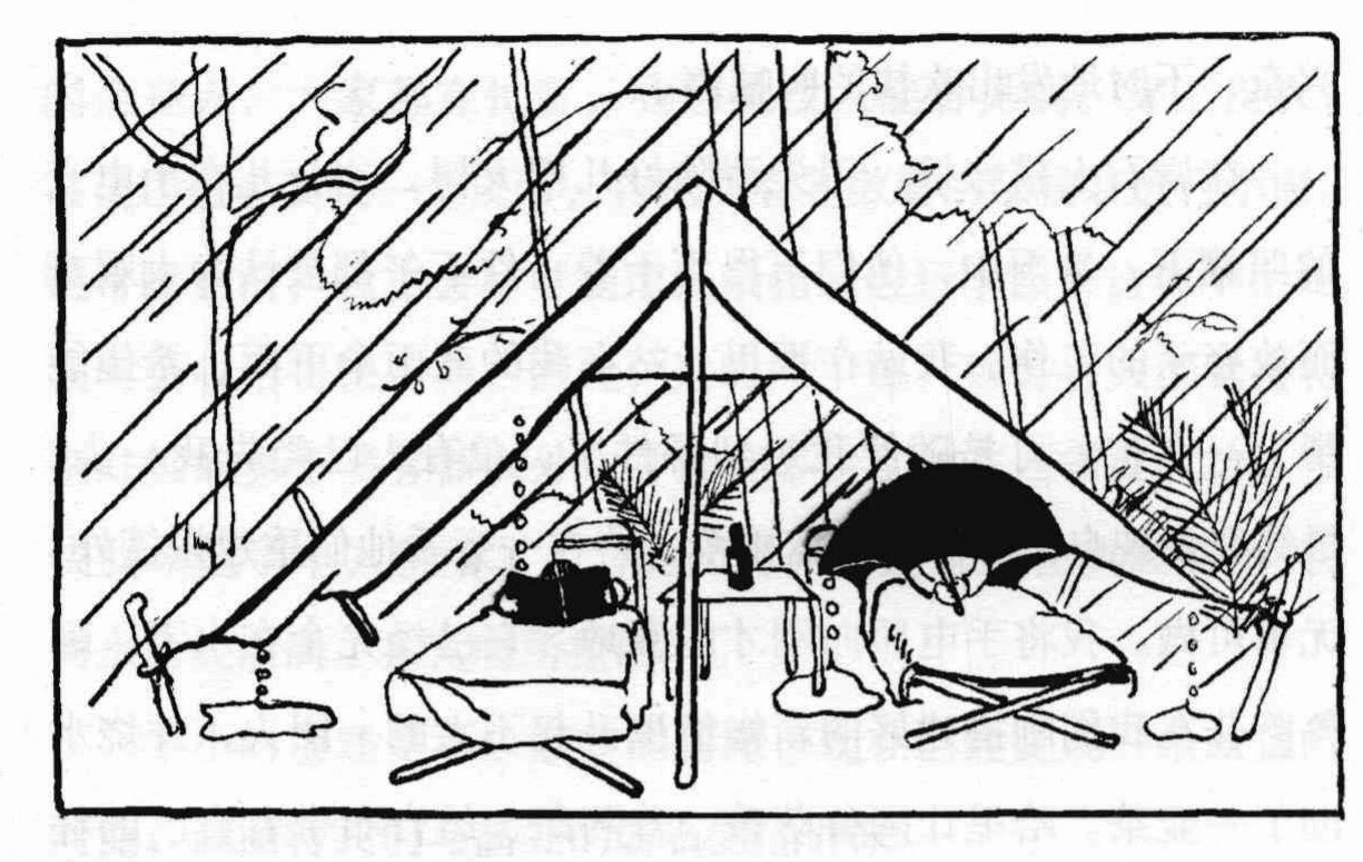
Leech bites kept bleeding, while clothes could not be dried in the rain. Agnes framed the journey as a struggle between intention and the body: the will continued, while feet slipped again and again on wet rock and mud.
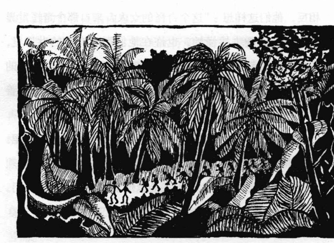
After Middle Napagun, familiar names fade from modern maps. The party still followed the valleys towards Kuala Napagun; today the rivers and dated stops can recover only the broad direction of this crossing.
“traveling with the will of nature, rather than against it.”
“与自然的意志同行,而非逆势而行。”
Agnes Newton Keith · 1939
After the rapids, Kuala Kuamut
After 18 June 1938
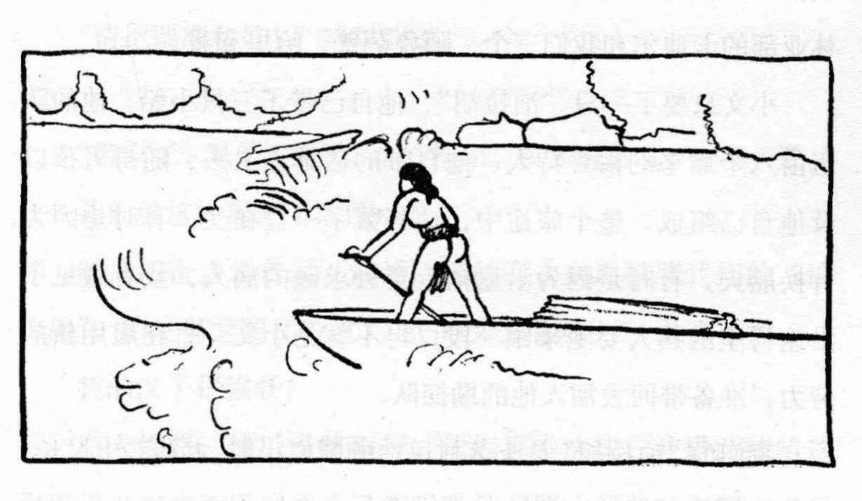
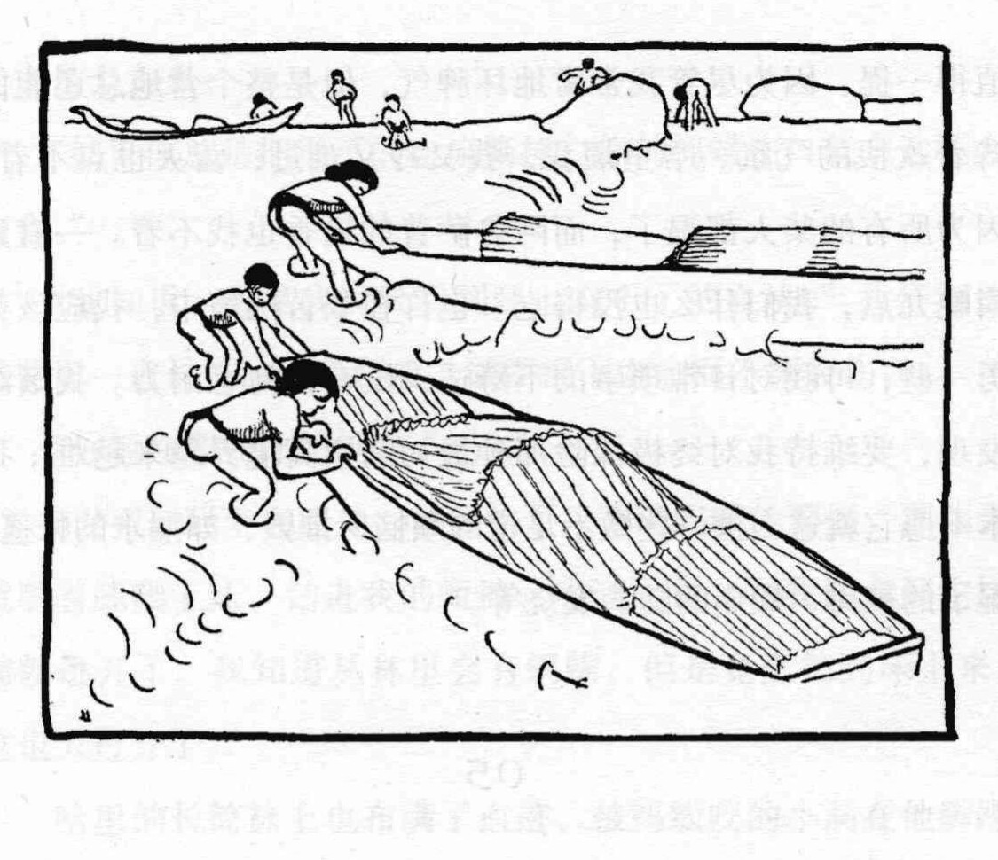
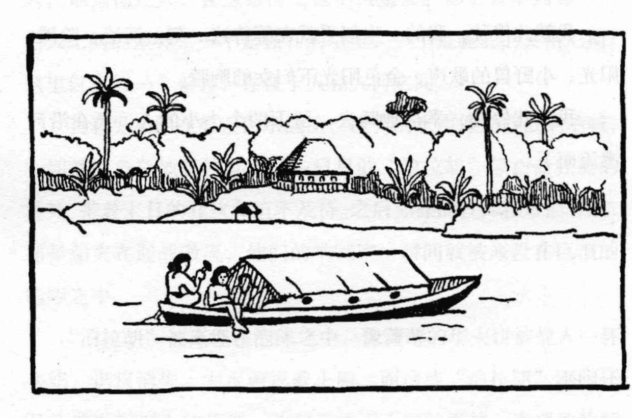
White water buried the narrow perahus in foam until the boats seemed to struggle in the river. At Kuala Kuamut the native chief greeted them ceremonially and offered the government office—normally a place for hearing disputes—as lodging. A recognisable jetty and settlement had finally returned.
On departure Agnes put on her last clean clothes, then stepped onto a loose plank and fell knee-deep into mud. Carrying that comic humiliation downstream, the narrow Kuamut soon opened into the broader Kinabatangan.
“After the majesty of the Kuamut, the lower Kinabatangan seemed hot, slow and muddy.”
New rendering from the 2016 Chinese edition
10The book’s world beyond the route
Four places outside the 1938 route, yet part of Land Below the Wind
The Keiths’ crossing was only one thread in a landscape full of stories. Abai connects to the Johnsons’ 1935 film expedition; Semporna and Lahad Datu hold the east coast’s people and sea routes. Linidis pulls the 1938 journey back toward an 1890 killing magnified by colonial retaliation.
“It is a terrible story,” I said. Harry answered, “Yet it is because of stories like this that you and I can travel safely on the river today.”
New rendering from the 2016 Chinese edition
Abai / JohnsonvilleThe Johnsons’ 1935 wildlife-filming camp—another expedition altogether.
SempornaAn east-coast town where people and coastal stories in the book converge.
Lahad DatuAn east-coast reference point in the book’s map and coastal narrative.
LinidisThe 1890 Walter Flint episode retold in the book: an echo from the past.